Eastwick in Philadelphia
Eastwick, located in the Southwest section of Philadelphia, is the city’s southwestern-most neighborhood. This community, named after Andrew M. Eastwick, has a unique history and cultural fabric, making it an interesting study of urban development, industrial history, and community dynamics.
Historical Overview
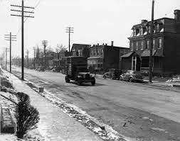
Eastwick’s history stretches back to the 1920s when it was largely a rural area. The land, originally swampy, was dredged to make room for an airport and other large-scale uses within the city limits. The original housing built before the 1950s lacked sewer service and other urban conveniences, leading residents to refer to the neighborhood as “The Meadows.”

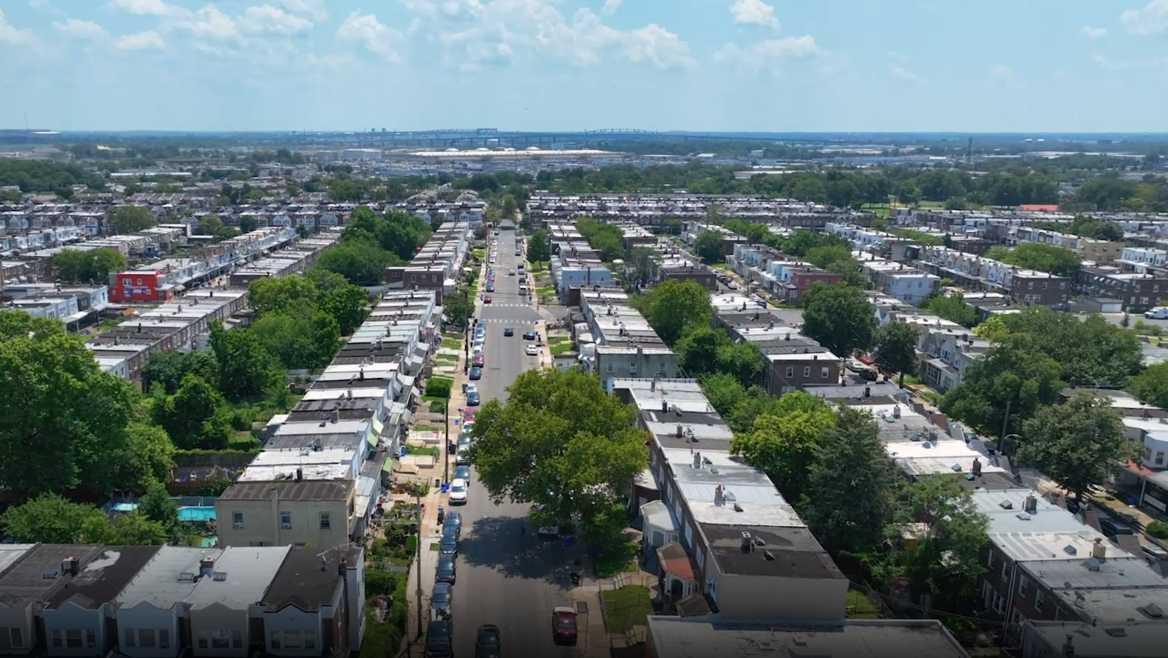
Residents of Eastwick enjoyed the ability to have a rural lifestyle within city limits. Nearby creeks provided recreation in the form of swimming, bathing, and fishing. An extensive crabbing home industry was based in The Meadows. Homes ranged from traditional single-family residences with lawns and gardens to traditional Philadelphia-style row houses, often found on the same block. Brick was the predominant construction material. Homes were built from the early 19th century until the Second World War caused a shortage of material for new constructions.
Urban Renewal and Community Displacement
The city of Philadelphia began to eye Eastwick as a place to relocate low-income black populations being displaced by development projects in North and West Philadelphia in the 1950s. In 1958, Eastwick was declared the largest urban renewal project in the country. However, the new development came at the expense of the existing community, one of the few integrated neighborhoods in Philadelphia at the time.
The urban renewal project was designed by Greek urban planner Constantinos Apostolou Doxiadis, who was known for integrating city and countryside in a way that eased the transition of rural migrants to urban space. In Eastwick, Doxiadis’s work took the form of row houses on cul-de-sac streets, with traffic funneled toward peripheral roads.
Post-Industrial Eastwick
After World War II, the convenience of trucking routes replaced centralized train transport. All of the major packinghouses in New City closed between 1952 and 1962. In 1971, the stockyards followed suit. Since this time, new industry has gradually replaced the cattle-based trade. Enticed by tax breaks, more than 100 companies moved into the area by 1991, employing over 10,000 workers.
The neighborhood contains a large industrial area where manufacturing and distributing uses take advantage of proximity to the Airport, Interstate 95, and Center City Philadelphia. The area offers affordable land for industrial uses, enabling companies to remain in the city where employees can utilize public transit.
Environmental Issues and Controversies
Certain blocks of Eastwick are located in a flood plain, leading to flooded, abandoned homes and vacant lots often used for illegal dumping. Issues of environmental regulation and brownfields cleanup have also figured into the history of Eastwick.

Demographics
As per the census of 2000, Eastwick had a population of 14,424. The racial makeup was 36.70% White, 57.47% African American, 2.68% Asian, and 0.69% from other races. Hispanic or Latino of any race were 1.91% of the population. The median income for a household in the neighborhood was $33,320.
Transportation
Eastwick is served by SEPTA Subway-Surface Route 36, which runs through the neighborhood and terminates at 80th Street–Eastwick station. This station is within walking distance of the Eastwick station on SEPTA Regional Rail’s Airport Line.
Eastwick, Philadelphia, is a community that has seen significant changes over the years—from its early rural beginnings to its transformation through urban renewal and industrialization. Despite the challenges and controversies it has faced, Eastwick remains a vibrant and unique part of Philadelphia’s urban landscape. Its history and ongoing development continue to shape its future, making it an essential part of Philadelphia’s fabric.
