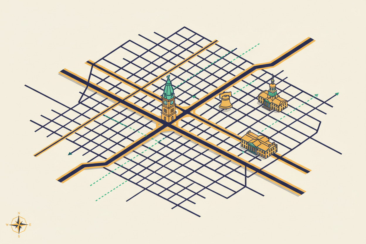
How to Decode Philadelphia’s Street Grid System: Navigation Made Simple
If you’ve ever found yourself wandering the streets of Philadelphia, scratching your head and wondering how on earth the city’s street system works, you’re definitely not alone. Philadelphia’s street grid might seem confusing at first glance, but once you understand the underlying logic, navigating the City of Brotherly Love becomes surprisingly straightforward. Whether you’re a first-time visitor, a new resident, or someone who’s lived here for years but never quite figured out the system, this guide will transform you from a confused wanderer into a confident Philadelphia navigator.
Philadelphia’s street layout is actually one of the most logical and well-planned urban grids in America, dating back to William Penn’s original city plan from 1682. The key to mastering Philadelphia navigation lies in understanding a few fundamental principles that govern how streets are numbered, named, and organized. Once you grasp these concepts, you’ll never need to rely solely on GPS again.
Understanding Philadelphia’s Historic Foundation
Before diving into the practical navigation tips, it’s essential to understand the historical context that shaped Philadelphia’s street system. William Penn designed what he called a “greene country towne” with a rectangular grid pattern that was revolutionary for its time. The original city was bounded by the Delaware River to the east and the Schuylkill River to the west, with Vine Street to the north and South Street to the south.
This historic core, known today as Center City, serves as the foundation for understanding the entire Philadelphia street system. Penn’s grid was so well-conceived that it has remained largely intact for over three centuries, even as the city expanded far beyond its original boundaries. The genius of this system lies in its simplicity and logical progression, making it one of the easiest major city grids to navigate once you know the rules.
The Magic of Broad Street: Philadelphia’s Central Axis
The secret to understanding Philadelphia’s street numbering system begins with Broad Street, which runs north-south through the heart of the city. Broad Street isn’t just any street – it’s the central dividing line that determines how every other street in Philadelphia is numbered. Think of Broad Street as the spine of the city, with everything else organized around it.
Here’s where it gets interesting: Broad Street is actually 14th Street, though it’s rarely called by that number. This means that as you move east from Broad Street toward the Delaware River, you’ll encounter 13th Street, 12th Street, 11th Street, and so on, all the way down to Front Street (which is essentially 1st Street). Moving west from Broad Street toward the Schuylkill River, you’ll find 15th Street, 16th Street, 17th Street, and beyond.
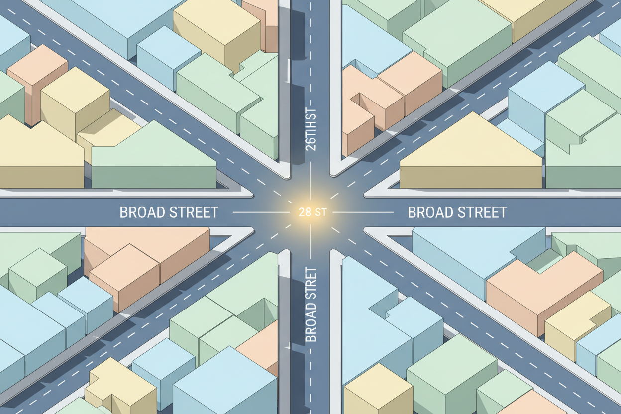
This numbering system extends throughout the entire city, not just Center City. Whether you’re in South Philadelphia, North Philadelphia, or West Philadelphia, the street numbers always relate back to Broad Street as the central reference point. Once you internalize this concept, you’ll always know roughly where you are in relation to the city center.
Market Street: The East-West Divider
Just as Broad Street serves as the north-south dividing line, Market Street functions as the east-west divider for Philadelphia’s address system. Market Street runs from the Delaware River in the east all the way to the Schuylkill River in the west, passing directly through the heart of Center City and continuing into West Philadelphia.
The intersection of Broad Street and Market Street represents the true center of Philadelphia’s grid system. This intersection, located at City Hall, is where the city’s coordinate system begins. From this central point, addresses increase as you move away in any direction. North of Market Street, you’ll find streets with “North” designations, while south of Market Street, addresses carry “South” designations.
Understanding this east-west division is crucial for interpreting Philadelphia addresses. For example, if you’re looking for an address on North 15th Street, you know it’s west of Broad Street and north of Market Street. Similarly, an address on South 12th Street would be east of Broad Street and south of Market Street.
Decoding Philadelphia Address Numbers
Philadelphia’s address numbering system follows a logical pattern that, once understood, makes finding any location remarkably simple. Each block typically contains 100 address numbers, and the hundreds digit of any address tells you exactly which block you’re looking for.
For instance, if you’re searching for 1234 Chestnut Street, you know you need to find the 1200 block of Chestnut Street. Since Chestnut Street runs east-west and is south of Market Street, you’re looking for the intersection of 12th and Chestnut Streets. The address 1234 would be on the north side of Chestnut Street, between 12th and 13th Streets, closer to 12th Street since it’s a lower number.
This system works consistently throughout the city. An address like 2847 North Broad Street tells you immediately that you’re looking for the 2800 block of North Broad Street, which means you need to find the intersection of Broad Street and 28th Street in North Philadelphia. The beauty of this system is its predictability – once you understand the pattern, you can locate any address without needing to memorize street names or rely entirely on navigation apps.
Named Streets vs. Numbered Streets
While Philadelphia’s numbered street system provides the backbone for navigation, the city also features many named streets that add character and history to different neighborhoods. In Center City, you’ll encounter famous named streets like Chestnut, Walnut, Locust, Spruce, Pine, and South Streets running east-west, while streets like Front, 2nd, 3rd, and so on run north-south.
The key to navigating named streets is understanding their relationship to the numbered grid. Most named streets in Center City run parallel to Market Street, and they maintain consistent positions relative to the numbered cross streets. For example, Chestnut Street always runs one block north of Market Street, while Walnut Street runs one block south of Market Street.
In neighborhoods beyond Center City, you’ll encounter more named streets, but they generally follow the same logical principles. Many of these streets were named after trees, historical figures, or local landmarks, adding personality to Philadelphia’s orderly grid system without sacrificing navigational clarity.
Navigating Philadelphia’s Neighborhoods
Each Philadelphia neighborhood has its own character, but they all follow the same basic grid principles established in the city center. South Philadelphia, known for its Italian-American heritage and famous cheesesteak shops, extends the numbered street system southward from South Street. The higher the street numbers get as you move west, and the higher the address numbers get as you move south.
North Philadelphia follows similar principles, with numbered streets continuing northward from Vine Street. West Philadelphia, across the Schuylkill River, maintains the same street numbering system, though some areas also incorporate local street names that reflect the neighborhood’s unique history and culture.
Understanding these neighborhood extensions of the central grid system means you can navigate confidently throughout the city. Whether you’re exploring the trendy restaurants in Northern Liberties, shopping in Rittenhouse Square, or visiting the universities in West Philadelphia, the same fundamental navigation principles apply.
Practical Tips for Philadelphia Navigation
Now that you understand the theory behind Philadelphia’s street system, let’s discuss some practical tips that will make your navigation even more effective. First, always remember that odd-numbered addresses typically appear on one side of the street, while even-numbered addresses appear on the other side. This pattern helps you determine which side of the street you need before you even arrive at your destination.
When walking or driving in Philadelphia, pay attention to the street signs at intersections. They typically display both the street name and number, which helps reinforce your understanding of the grid system. If you ever feel lost, simply look for the nearest numbered street and Market Street or Broad Street to reorient yourself within the grid.
Another helpful tip is to use major landmarks as reference points. City Hall, located at Broad and Market Streets, serves as the perfect central reference point. The Delaware River always lies to the east, while the Schuylkill River is to the west. These natural boundaries help you maintain your directional bearings as you explore the city.
Common Navigation Mistakes to Avoid
Even with a solid understanding of Philadelphia’s grid system, there are some common mistakes that can trip up both newcomers and longtime residents. One frequent error is confusing North and South designations. Remember that Market Street is the dividing line – anything north of Market Street gets a “North” designation, while anything south gets a “South” designation.
Another common mistake is assuming all streets follow the grid perfectly. While the vast majority of Philadelphia streets adhere to the grid system, there are some diagonal streets and irregular patterns, particularly in older neighborhoods or areas that developed around natural features like rivers and hills. These exceptions are relatively rare, but it’s good to be aware that they exist.
Don’t forget that some areas of Philadelphia have their own local naming conventions or historical street names that might not immediately fit the numbered grid pattern. When in doubt, look for the nearest numbered street to get your bearings, then work from there to find your specific destination.
Conclusion
Mastering Philadelphia’s street grid system is like learning a valuable life skill that will serve you well for years to come. Once you understand that Broad Street serves as the north-south dividing line, Market Street functions as the east-west divider, and addresses increase as you move away from the central intersection at City Hall, navigating Philadelphia becomes intuitive and enjoyable.
The beauty of Philadelphia’s grid system lies in its logical consistency and historical continuity. William Penn’s original vision for an orderly, navigable city has stood the test of time, creating one of America’s most user-friendly urban street systems. Whether you’re exploring historic Old City, enjoying the nightlife in Center City, or discovering hidden gems in the outer neighborhoods, you now have the tools to navigate with confidence.
Remember that becoming comfortable with any city’s street system takes practice. Don’t be discouraged if you occasionally take a wrong turn or need to consult your phone for backup. The more you use these navigation principles, the more natural they’ll become. Soon, you’ll find yourself giving directions to other confused visitors, sharing the same insights that have transformed your own Philadelphia navigation experience.
Philadelphia’s street grid system is more than just a practical tool for getting around – it’s a testament to thoughtful urban planning and a connection to the city’s rich history. By understanding and appreciating this system, you’re not just becoming a better navigator; you’re developing a deeper connection to one of America’s most historically significant and beautifully organized cities.